Entry #105
Walk on the Map
Soichiro Kawasaki

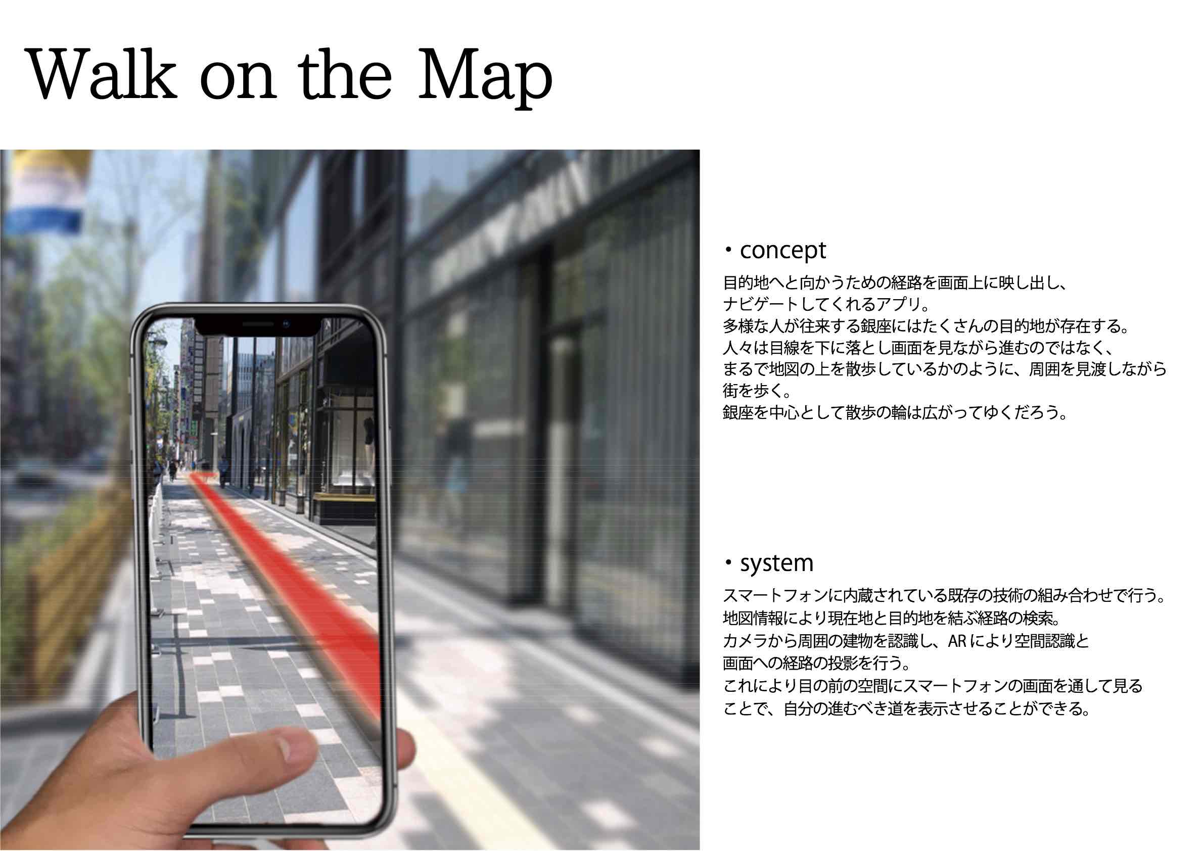
An augmented reality app for mobile devices. Displays routes to destinations using graphics directly overlaid onto the city scenery. Lets users navigate the city with their heads upright, instead of staring down at their smartphone screens as they do when using existing navigation apps.
- Metadata:
-
• The degree to which advanced technologies (including IT) are used
3 (Low-tech) 1 - 2 - 3 (High-tech) -
• Site-specificness: The degree to which the idea targets a specific locale
1 (Site-agnostic/universal) 1 - 2 - 3 (Site-specific) -
• Degree of commercial potential
2 (Strictly for public good) 1 - 2 - 3 (May profit some parties involved) -
• Time scale of citizen-led changes to cities enabled by the idea
3 (Short-term change) 1 - 2 - 3 (Long-term change) -
• Geographic scale of citizen-led changes to cities enabled by the idea
3 (Small-scale change) 1 - 2 - 3 (Large-scale change) -
• Hurdles toward participation, from a citizen’s perspective
1 (Anyone can participate) 1 - 2 - 3 (Requires expertise, time, money, etc.)